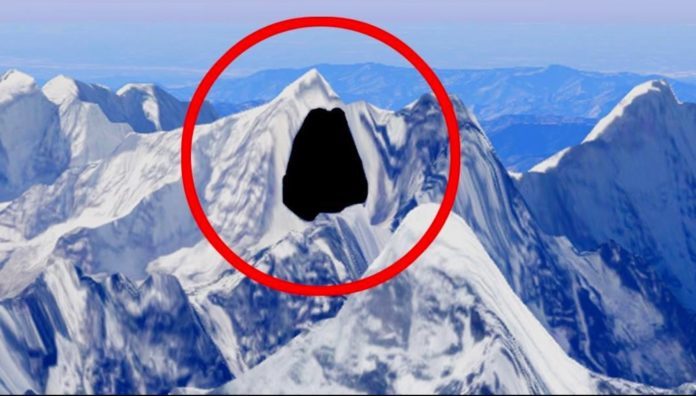
It’s not just the information on the Internet, but our own planet is being censored. While the governments usually hide classified secrets they don’t want their citizens to know, Google Earth hides places from the public eye for reasons best left unknown to its users.
The governments may have their reasons, both legal and illegal, to hide sensitive data; but why would Google Earth blotch out or Photoshop real physical landscapes, including an entire nation, and deceive the public?
What are they trying to hide? Top secret government airfields, non-recognized land masses, spy training facilities, or nuclear plants? Here’re the top 10 secret places Google Earth does not want you to see — courtesy of people who have physically visited these conspicuously hidden landmarks:
10. Keowee Dam, South Carolina

Google Earth has blurred out a man-made reservoir on Lake Keowee. Why? The Keowee Dam helps run the three-reactor Oconee nuclear complex producing enough electricity to power 1.9 million homes. In the event of dam failure, Oconee’s 5-feet floodwall could be swamped by more than 16 feet of water.


Huis ten Bosch: basic security, that’s all…
The government have created a hidden technique called bread and circures