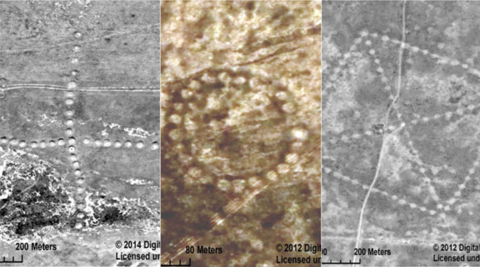
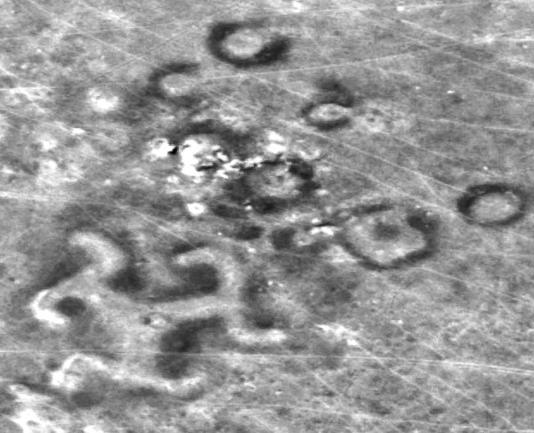
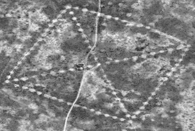
NASA has released new satellite images of a remote and treeless northern steppe that reveal colossal earthworks — geometric patterns of squares, crosses, lines, rings and even a swastika — that cover spaces the size of several football fields. Located in Kazakhstan, these mystery patterns, called the Steppe Geoglyphs, are believed to be at least 8,000 years old, range in size from 300 to 1300 feet, and recognizable only from the air.
The massive earthwork patterns were originally discovered by a Kazakh economist and archaeology enthusiast, Dmitriy Dey when he was browsing Google Earth in 2007. Since then, Dey has found about 260 of the land designs—which resemble crop circles, but are much stranger.
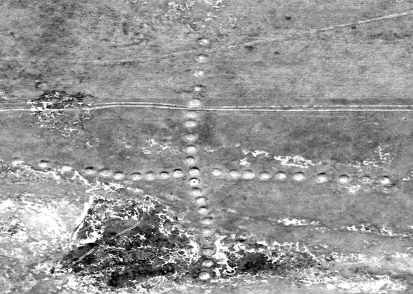
Dey’s research convinced and persuaded NASA to help figure out what these things were. NASA also directed the astronauts on the International Space Station to start photographing the region. Two weeks ago, the space agency released clear satellite photographs of the figures from about 430 miles in the sky. Each individual mound in the formation is about three feet high and 40 feet wide.
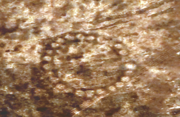
One of them, called the Bestamskoe Ring, is a circle made up of dozens of smaller circles. Another, named Ushtogaysky Square, is 810,000 square feet—each 900-foot side is as long as an aircraft carrier—with an X-shape through the middle. Then there is Turgai swastika. While the symbol may now be associated with Nazis, it was in fact an ancient symbol used for more than 3,000 years to depict prosperity and power.
“They’re really curious and puzzling. At the moment, we don’t have a clue what they are…Astronauts on the ISS like to be kept busy looking at interesting things on Earth. NASA imagery has likely been used to study these types of formations in the past. But now we have teamed with DigitalGlobe. We’re about to get 50 to 60 images from them to work from there,” said Compton Tucker, a climate scientist at NASA who studies the planet through satellite imaging.
Dey’s research suggests that the figures could have been constructed by the Mahandzhar culture, who thrived in the vast steppes of what is now northern Kazakhstan between 5,000 and 7,000 B.C. This is an unusual development, since experts otherwise wouldn’t expect that a nomadic population would stay in place for the significant time and effort required to make the huge mounds.
“These alignments might have something to do with the calendar, to tell where the movement of the sun was so that the people would have some idea of when the spring or fall was coming, which might be important for their animal husbandry. Hopefully, it’s not some Bronze Age crop-circle prank, where people thought, ‘Let’s make a big pattern; in the future they’ll be stumped,” Tucker told HuffPost.
“I don’t think they were meant to be seen from the air,” Dey told The New York Times dismissing speculations that aliens and Nazis were behind them. He believes the elevated straight lines on the geoglyphs were “horizontal observatories to track the movements of the rising sun”.
As of today, experts are sure of one thing – the geoglyphs were built by ancient people. By whom and for what purpose, remains a mystery.
This Article (NASA Releases Photos Of 8,000-Year-Old Mysterious Geoglyphs) is free and open source. You have permission to republish this article under a Creative Commons license with attribution to the author and AnonHQ.com.




WTF?!?! Why is nasa hiding this? Why are we just finding out about this now? Why does my little toe have no hair? Why did I get up this morning?
i do not know, Joe